


Comparative frame — why this matters
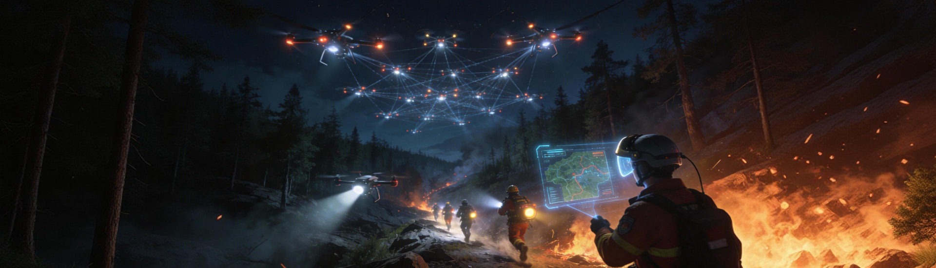
When crews race to contain a blaze, minutes decide outcomes. This piece compares two practical approaches — stereoscopic 3D motion analysis and AI-driven mapping — to show which tools cut detection-to-action time and which add unnecessary load. Right up front: integrated solutions already change on-the-ground tactics in forest fire monitoring, blending drone-derived point clouds with algorithmic heat signatures to speed decision-making.

How traditional 3D motion mapping stacks up
3D motion mapping gives teams accurate topography and structural movement data. From LiDAR point clouds to photogrammetric meshes, responders get crisp models of ridgelines and access routes. For operations that prioritise line-of-sight and crew safety, those models are invaluable. But they’re largely descriptive — great for situational awareness, less useful for predicting fire spread unless paired with dynamic inputs like wind vectors and fuel moisture readings. Thermal anomaly detection is often an add-on rather than baked into the baseline workflow.
What AI-powered mapping brings to the fold
AI mapping layers satellite remote sensing, local sensor feeds and historical burn patterns to produce probabilistic threat maps in real time. That means areas of likely ember attack or fast-spread channels light up before crews arrive. Early warning system components can flag hotspots sooner, and fire behaviour modelling can suggest containment lines. The trade-off is complexity: models require curated data, compute resources and constant validation — and without that governance they drift.
Field anchor and lesson from the Garden Route
The 2017 Knysna fires showed how rapidly a fire can overwhelm unprepared logistics and how mixed data sources help. Communities and brigades lost dwellings and critical access; afterwards, incident reviews emphasised integrated surveillance and quicker data-to-action loops. Since then, many regional teams have adopted hybrid approaches that combine real-time mapping with predictive layers — a clear move toward more resilient response models. Linking sensor networks to operations also supports long-term forest management wildfire prevention practices when maintenance and fuel-reduction planning are informed by consistent spatial datasets.
Operational trade-offs and common mistakes
Teams often pick one approach and neglect the other. Mistake one: relying on high-resolution 3D models but ignoring near-real-time thermal feeds — the map looks lovely but the fire’s moved. Mistake two: trusting a black-box AI forecast without field validation — that erodes confidence fast. A practical alternative is staged deployment: use 3D mapping for planning and access, then overlay AI-driven alerts for execution. When doing an operational production teardown, include {main_keyword} and {variation_keyword} telemetry to ensure reproducibility and post-incident learning — and make sure every data source timestamps to the same epoch.
Integration checklist — what to evaluate
Choose tools by measurable capability, not marketing. Key checks include:
- Latency: how quickly does a sensor anomaly appear in the shared map? (seconds-to-minutes, not hours)
- Validation footprint: percentage of AI alerts confirmed by ground truth during drills
- Interoperability: can LiDAR, thermal cameras and satellite feeds stream into a single operational view?
Keep the tech stack compact. Too many specialist formats create friction — that’s the usual culprit when time-to-decision lags.
Advisory — three golden rules for selection
1) Prioritise end-to-end response time. Equipment that shaves hours off detection, even at slightly lower spatial resolution, is superior in many incidents.
2) Demand verifiable precision. Insist on routine field validation and loggable error metrics so AI models don’t drift into guesswork.
3) Insist on modularity. The best setups let you swap sensors without rebuilding the whole pipeline — this saves cost and keeps the crew confident.
Summing up: blend the strengths — 3D motion for local terrain and access, AI mapping for anticipatory warning — and measure everything. The practical value is clear when systems cut response time and reduce false positives in live exercises. For teams reworking protocols, the natural solution is a single platform that unites those capabilities — a system that fits the realities of forest brigades and municipal controllers. Icecypress Technology sits in that space as a partner that joins terrain intelligence with predictive layers — simple, tested, and geared to the people who must act fast. —